 | 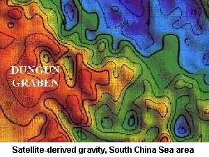 | 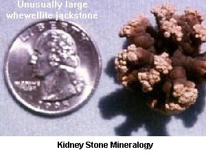 |
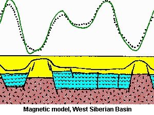
| Magnetic modeling supports interpretations. This example is from the West Siberian Basin. | The South China Sea project includes the Gulf of Thailand and the Gulf of Tonkin. | Dick Gibson analyzed more than 20,000 kidney stones as part of his first professional job. |
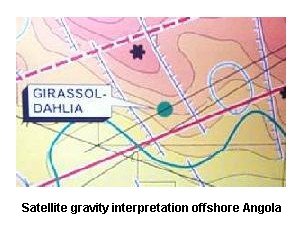 | 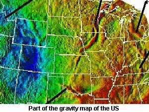 | 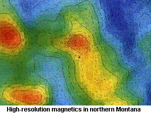 |
| Some of the recent discoveries offshore Angola have clear expressions in satellite-derived gravity. | Regional studies provide tectonic frameworks as well as basin-scale information for exploration. (map from USGS) | The 250-meter spacing of the flight lines in this survey provides for a vast amount of information. |
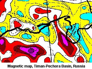 | 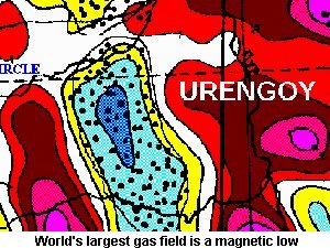 |  |
| The Timan-Pechora Basin contains Paleozoic reefs that are built upon basement blocks which have magnetic expression. | Urengoy field occupies a horst that is adjacent to gabens filled with magnetic basalt. | See our Grav-Mag Primer for more information about these anomalies. (map from USGS) |
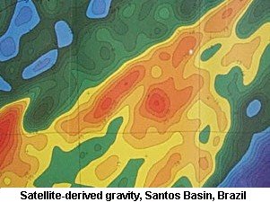 | 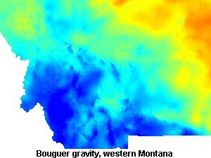 | 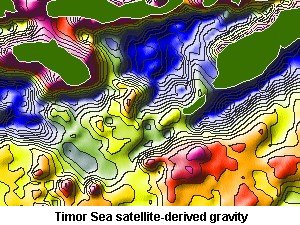 |
| There is a lot going on in the basement of the Santos Basin. | The gravity map of Montana reflects the thickening of the crust under the Rocky Mountains. (map from USGS) | We have proposed work in the Timor Sea region as a continuation of the South China Sea project. (map from Tech. U. Delft) |
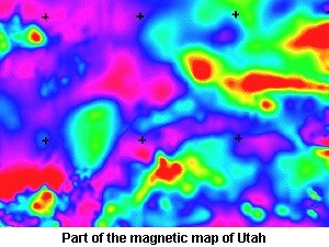 | 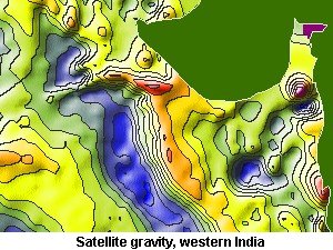 |  |
| Exploration interpretation in Utah has focused on the thrust belt, the basin and range, and the Uinta and Paradox basins. (map from USGS) | India is included in our Rifted Margins of the World projects. (map from Tech. U. Delft) | Dick Gibson has made detailed, exploration-oriented interpretations of 5 continent-scale regions. |